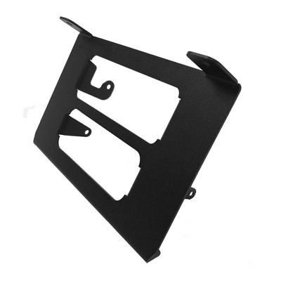
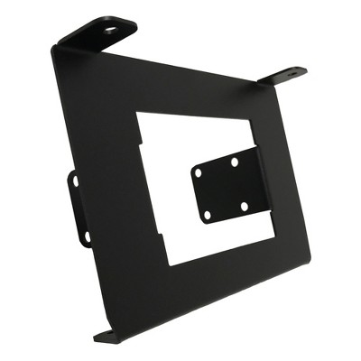
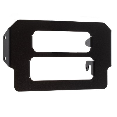
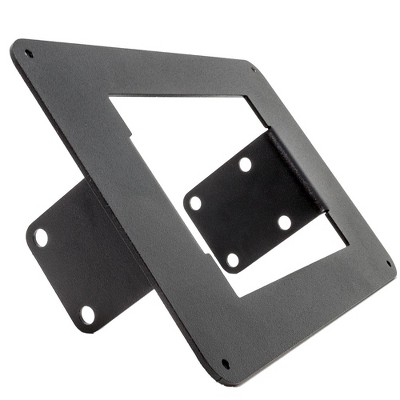
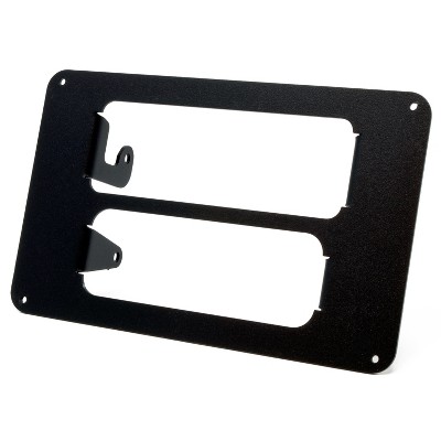
NavAtlas ANBX1 External Off-Road Powersports Navigation Box Compatible with DXU1100DVR
New at target
$249.00
Out of Stock
Eligible for registries and wish lists
About this item
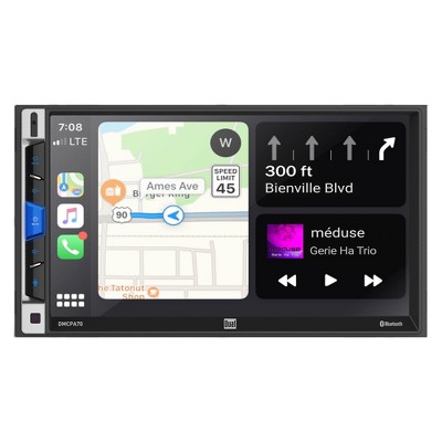
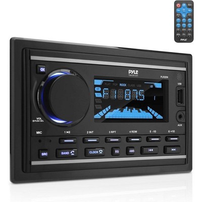
Additional product information and recommendations
Related Categories
Discover more options
Trending Car Audio Receivers
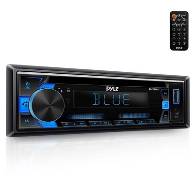
$58.39
reg $145.99 Sale